Belgian Crop Intelligence
Pixel-level Earth Observation capability demonstrator
Explore spatial vegetation patterns, field-level change and how satellite signals enrich Agri-Intel crop, rotation and territory intelligence.
Field intelligence, down to the pixel
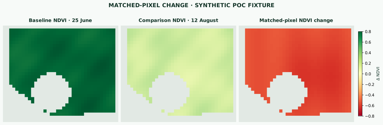
Pixel-level vegetation patterns give Agri-Intel new context for crop monitoring, seasonal research and territory planning.